
Picture this: glassy morning water, a full tank, and your boat easing out from your backyard dock toward the Gulf. If you are eyeing Naples waterfront homes, that image is the dream. The details that make it work are more technical than most listings show. In this guide, you will learn how to verify depths, bridge clearances, manatee zones, permits, and real access times so your next home fits your boat and your lifestyle. Let’s dive in.
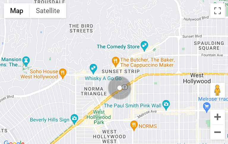
Most Naples waterfront routes run through Naples Bay and out Gordon Pass to the Gulf. The pass and federal channel are maintained by the U.S. Army Corps of Engineers, with published project depths of 12 ft at the entrance and 10 ft in the main channel, both referenced to MLLW and with standard allowable overdepth. You should treat these as system baselines rather than a promise at your dock. Confirm which inlet you will use and check for recent dredging or shoaling updates on city or Corps records.
Channel depths do not guarantee depth at your canal mouth or slip. Tides, shoaling, and private canal geometry can reduce usable depth between maintenance cycles. Always ask for recent hydrographic soundings tied to MLLW at the dock, canal mouth, and approach to the marked channel. You can also review charted soundings and datums to set expectations. Use NOAA’s Office of Coast Survey to view charts and understand datums.
If your vessel has a tower, mast, or tall antennas, confirm air-draft along your entire route. City design materials for a proposed pedestrian connector cite an 11 ft vertical clearance at mean high water in the center span and note the existing US‑41 Gordon River west span is about one foot lower. Treat this corridor as low clearance unless you verify exact posted values and datums. Review the City’s bridge design reference and map every structure on your planned route.
Naples Bay and the Gordon River include slow-speed and idle/no‑wake areas that protect manatees and seagrass. These zones can add significant time to your run. For example, Gordon River and Rock Creek north of US‑41 are designated Slow‑Speed All Year, and large portions of adjacent waters carry slow or idle restrictions. Cross-check your dock-to-inlet route against the state maps and on-water markers. Use the FWC Collier County manatee protection maps to plan realistic transit times.
A simple formula helps you set expectations: time in minutes equals distance in nautical miles divided by speed in knots, times 60. For quick reference, pure run times (no slow zones or turns) look like this:
Real routes add slow/idle segments, turn basins, traffic at the pass, and tide timing. That can add 25 to 100 percent on top of the cruise estimates. Measure your dock-to-pass distance on a marine chart or GPS and mark the slow segments before you fall in love with a listing. NOAA’s chart viewer can help you plan and measure.
Common local setups include shore‑normal piers with finger slips, T‑heads for larger boats, shore‑parallel slips where allowed, and floating docks with lifts where depths are limited. The usable berth equals the clear length minus space for pilings and gear, so confirm as‑built drawings rather than relying on a listing’s headline length. Add a marine surveyor’s review of dock structure, pilings, and lift capacity to your inspection plan.
A seawall inspection and an elevation certificate matter for safety and insurance. Flood coverage depends on your FEMA flood zone and your finished‑floor elevation relative to base flood elevation. Budget for seawall maintenance in negotiations and request an engineer’s estimate if repairs are noted. Use FEMA’s Flood Map Service Center to pull official panels and BFE data.
In Naples and Collier County, dock, lift, seawall, and dredge work typically involve city or county review, the Florida Department of Environmental Protection, and the U.S. Army Corps. Florida uses the State Programmatic General Permit, known as SPGP VI, to coordinate many routine projects. Expect environmental conditions that address seagrass, manatees, and shoreline placement. Your contractor should design to the permit limits and verify the correct authorizations before work. Read the Corps’ SPGP VI notice.
Responsibility varies by street and basin. Some areas are within special taxing districts that fund dredging and maintenance, some rely on the city, and others depend on riparian owners through HOA or private agreements. Always ask who paid for the last dredge, whether assessments are outstanding, and what work is planned in the next few years. Review relevant City of Naples taxing-district records during due diligence.
Each address is unique, but these profiles can guide your short list:
Always require recent MLLW soundings and do a boat‑fit trial run at a representative tide, especially for deeper drafts or towered boats that may also face air‑draft limits.
Make these items part of your offer or inspection period. They protect your time and money and help you match the home to your boat:
Buying on the water in Naples should feel exciting, not uncertain. With clear data on depths, bridges, speed zones, permits, and who maintains your canal, you can choose a home that truly fits your boating life. If you want help mapping a route, coordinating surveys, or pressure‑testing a listing’s claims, we are ready to be your trusted local guide. Connect with The Pappas-Burback Team to plan your search and preview the right properties.
Compass
800 Laurel Oak Dr., #400
Naples, FL 34108
Pappas-Burback Team
[email protected]
Debbie | (239) 404-4900
Larry | (239) 289-6419